Historia de la navegación
Keywords
Summary
151 words
Critical Evaluation
The video provides a broad overview of the history of navigation, from prehistoric sea crossings to the age of satellite navigation. The presentation is well-structured, with clear sections on navigation techniques, cartography, and instruments. However, as a student project, it lacks the depth and rigor of a professional academic presentation. The information is generally accurate, but there are some simplifications and potential inaccuracies. For example, the description of the Chinese ‘Sinan’ as using ‘cambio gravitatorio terrestre’ (terrestrial gravitational change) is misleading; it actually uses magnetism. The presentation also omits important details, such as the role of Polynesian navigation, which is a significant part of navigation history. The sources cited are limited to the Fundación Orotava website and its seminar pages, which are not directly related to the content. The video does not provide a bibliography or references to academic works, which weakens its credibility. The argumentation is logical, but the lack of citations makes it difficult to verify claims. The title accurately reflects the content, and the presentation is engaging for a general audience. Overall, the video is a decent introduction to the topic but would benefit from more rigorous sourcing and deeper analysis.
194 words
Title / Content Match
The title accurately reflects the content, which focuses on the history of navigation.
Quality & Reliability
6/10
Content is a student presentation, generally accurate but lacks depth and citations. Some simplifications and potential inaccuracies (e.g., 'cambio gravitatorio terrestre' for magnetic compass).
Key Moments
Markers derived by PSI from the transcript: the creator did not define chapters.
- Introduction to the history of navigation
- Early hominid sea crossings in Southeast Asia
- Ancient navigation techniques: cabotage and astronomical navigation
- Development of early instruments: Sinan and astrolabe
- Age of Discovery: key voyages and new ships
- 17th-18th centuries: sextant and marine chronometer
- 19th-20th centuries: steam power and electronic navigation
- Introduction to cartography: early maps
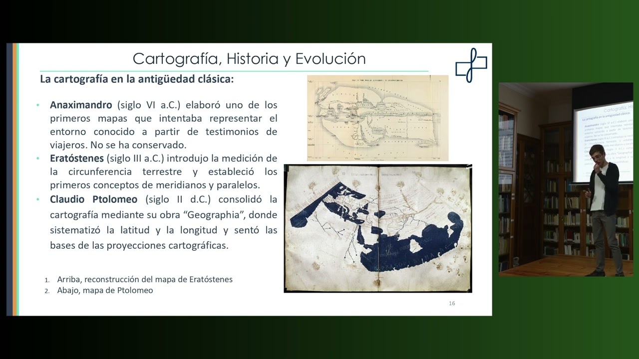
- Classical cartography: Anaximander, Eratosthenes, Ptolemy
- Medieval maps and Islamic cartography
- Age of Discovery maps: Juan de la Cosa, Cantino, Mercator
- Nautical cartography: portolans and nautical almanacs
Cited Sources
- Fundación Orotava de Historia de la Ciencia — Organization behind the project and conference
- XXXV Seminario Orotava — Related seminar series
- Jornadas sobre el exilio republicano español en México — Related event
Concurring Sources
- History of navigation (Wikipedia) — General historical overview consistent with the video's content.
Dissenting Sources
- Polynesian navigation (Wikipedia) — The video omits the significant contributions of Polynesian navigation, which is a major part of navigation history.
Contribution & Novelties
The video provides a concise and accessible overview of the history of navigation, integrating navigation techniques, cartography, and instruments. It is valuable as a student-led educational project, demonstrating how young learners can engage with scientific history. The presentation highlights the evolution from ancient methods to modern GPS, offering a broad perspective.
Pour aller plus loin :
- History of navigation (Wikipedia) — Provides a comprehensive overview of navigation history.
- Mercator projection (Wikipedia) — Details on the projection mentioned in the video.
- Marine chronometer (Wikipedia) — Explains the instrument crucial for determining longitude.
91 words
Radar Profile
The radar profile shows moderate scores across all dimensions, with slightly higher scores in quantity and quality of information, but lower in technical level and reliability. This reflects a broad but not deeply technical presentation, suitable for a general audience.