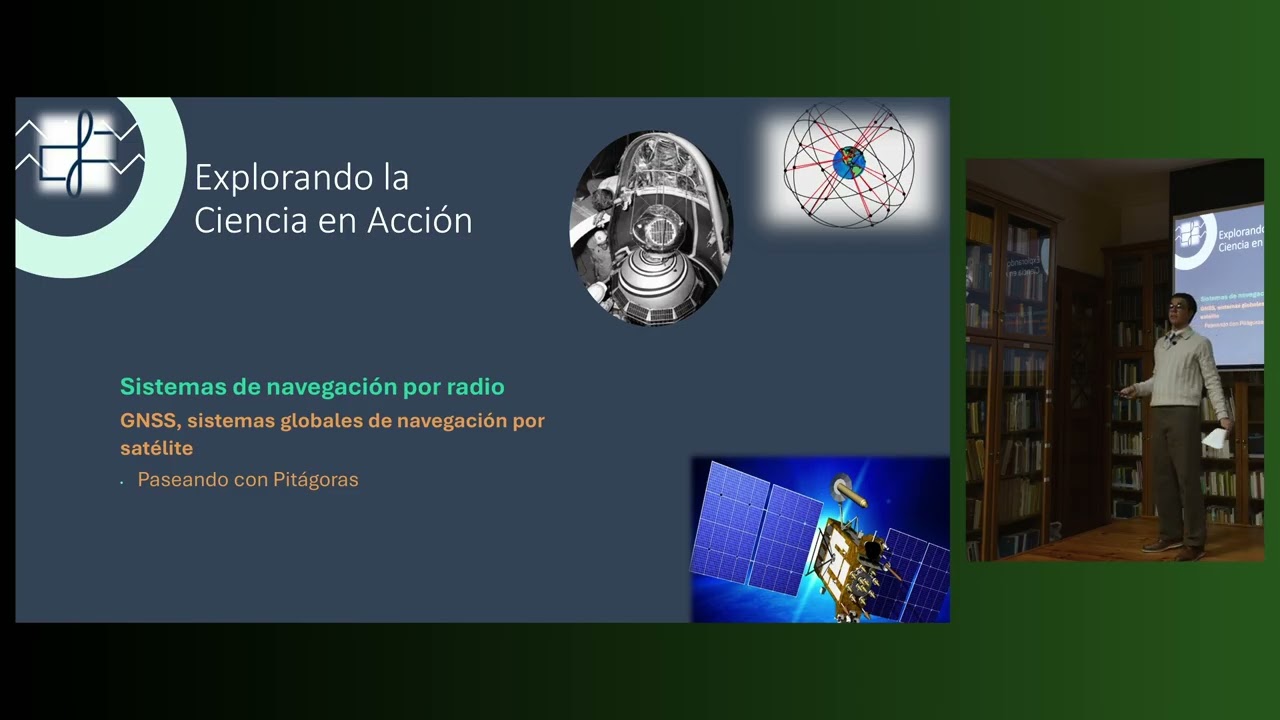
El GPS y los sistemas de navegación por radio
Keywords
Summary
174 words
Critical Evaluation
The video provides a solid introduction to the principles of satellite navigation, suitable for a general audience. The presenters demonstrate a good understanding of the subject, explaining complex concepts like hyperbolic positioning and trilateration in an accessible manner. The use of visual aids and animations enhances comprehension. However, the depth is limited by the presenters’ level (high school students), and some topics, such as the mathematical solution of the trilateration equations, are not fully developed. The content is accurate and well-structured, but it lacks explicit citations to external sources, which affects its scientific rigor. The presentation is engaging and well-paced, with clear explanations and logical progression. The title accurately reflects the content. Overall, this is a valuable educational resource, but it is not a comprehensive technical reference. The video includes a brief mention of a book by Spanish engineers involved in Galileo, but no specific sources are cited. The absence of a formal bibliography is a minor weakness. The presentation is commendable for its clarity and educational value, making it a good starting point for those interested in understanding how GPS works.
182 words
Title / Content Match
The title accurately reflects the content, which focuses on GPS and other radio navigation systems.
Quality & Reliability
7/10
The presentation is well-structured and technically accurate, covering historical and modern navigation systems. It is delivered by high school students under supervision, which limits depth but ensures clarity. Sources are not explicitly cited in the video, but the content aligns with established knowledge.
Key Moments
Markers derived by PSI from the transcript: the creator did not define chapters.
- Introduction to the second part of the conference on GPS and radio navigation systems.
- Explanation of hyperbolic navigation systems (LORAN, Decca, Omega) and their geometric principle.
- Introduction to Transit (Navy Navigation Satellite System) and its use of the Doppler effect.
- Overview of GNSS and the GPS system, including its three segments: space, control, and user.
- Details on GPS satellites: 24 satellites, 6 orbital planes, 55° inclination, 20,200 km altitude, and sidereal time.
- Description of the control segment: master stations, ground antennas, monitoring stations.
- Introduction to Galileo, GLONASS, and BeiDou systems, highlighting their unique features.
- Explanation of trilateration using the Pythagorean theorem in 2D and 3D.
- Discussion on time measurement, atomic clocks, and the impact of time errors on distance calculation.
- Conclusion and final remarks on the importance of precise time in GNSS.
Cited Sources
- No explicit sources cited in the video — The presenters mention a book by Spanish engineers involved in Galileo, but no specific title or URL is provided.
Concurring Sources
- GPS.gov — Official U.S. government website providing accurate information on GPS, its segments, and applications.
- ESA - Galileo — European Space Agency's page on Galileo, confirming the system's features and status.
Dissenting Sources
- No discordant sources found — The content aligns with established knowledge in the field.
Contribution & Novelties
This video offers a clear and accessible explanation of satellite navigation systems, particularly GPS, from a historical and technical perspective. It stands out for its educational approach, using simple analogies and step-by-step mathematical explanations. The presentation of hyperbolic navigation systems and the Doppler effect provides a comprehensive background. The inclusion of multiple GNSS (GPS, Galileo, GLONASS, BeiDou) gives a global view.
Pour aller plus loin :
- GPS - Wikipedia — Provides a detailed overview of GPS, its history, and technical aspects.
- Galileo (satellite navigation) - Wikipedia — Information on the European GNSS, including its design and services.
- Trilateration - Wikipedia — Explains the mathematical principle used in GPS positioning.
109 words
Radar Profile
The radar profile shows balanced scores across all dimensions, with slightly higher scores in information quality and reliability, reflecting the accurate but not deeply technical content. The presentation is strong in clarity and structure, but limited in depth and source citation.
💬 No comments were provided for analysis.