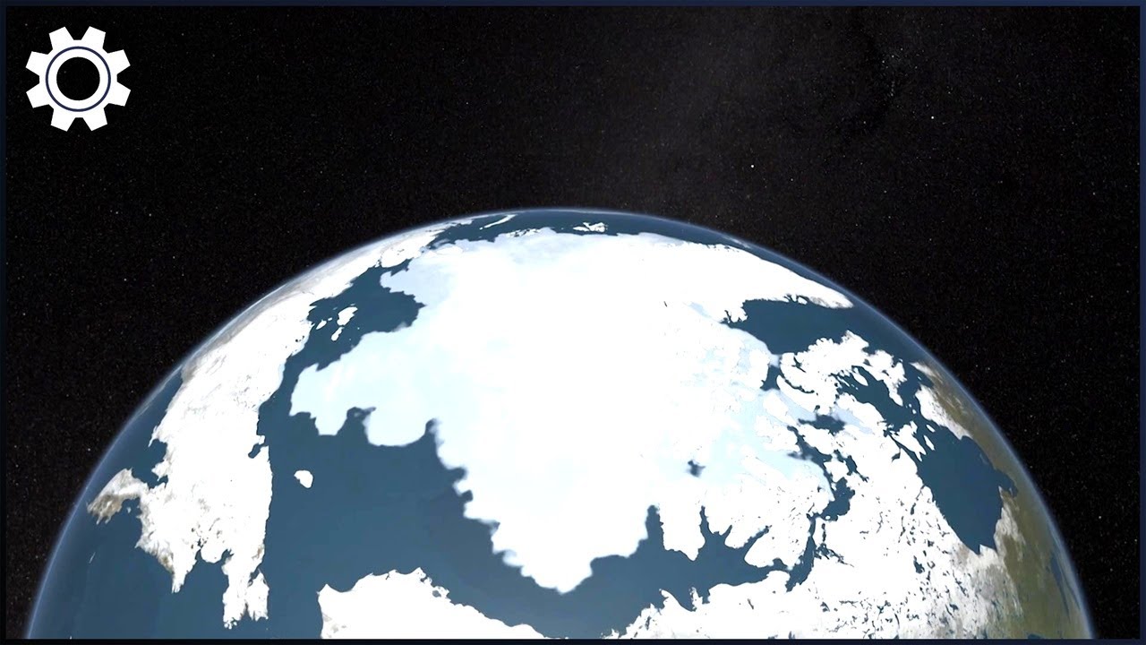
Pine Island Glacier: Warm Currents, Fractures and Ice Loss Mapped From Space
Keywords
Summary
180 words
Critical Evaluation
Value of the Information & Strength of the Argument
The documentary provides valuable information on the mechanisms of glacier melting and the use of satellite mapping, which is often underreported. It effectively argues that warm ocean currents are a primary driver of ice loss, using specific examples like Pine Island Glacier. The argumentation is solid, supported by visualizations and references to scientific studies, though it simplifies complex processes for a general audience. The inclusion of extreme weather events strengthens the case for urgency, but the causal links are sometimes implied rather than explicitly proven.
Scientific Rigor, Source Quality, Title Accuracy
The documentary references NASA, NGA, and mentions studies on Vavilov Island and Jakobshavn Glacier, but does not provide direct citations or URLs. The title accurately reflects the content, focusing on Pine Island Glacier and satellite mapping. The scientific rigor is moderate: while the information is generally accurate, the lack of explicit sources and the use of dramatic language reduce its reliability. The documentary does not include any advertising segments.
169 words
Title / Content Match
The title accurately reflects the focus on Pine Island Glacier and the use of satellite mapping to study warm currents and ice loss.
Quality & Reliability
7/10
The documentary relies on established scientific data from NASA, NGA, and peer-reviewed studies, but lacks direct citations and presents some projections as certain. The information is generally accurate but simplified for a general audience.
Key Moments
Markers derived by PSI from the transcript: the creator did not define chapters.
- Introduction to the revolution in mapmaking and its role in understanding climate change.
- Explanation of CO2's role in global warming and temperature rise since 1880.
- Overview of extreme weather events: Hurricane Harvey, Florence, Pakistan floods, and Hurricane Ian.
- Discussion of Arctic ice loss, including Vavilov Island and Jakobshavn Glacier.
- Focus on Pine Island Glacier: warm currents, thinning, and fracturing.
- Radar mapping reveals the glacier's base and the role of warm water in the Amundsen Sea.
- Sea level rise projections and impacts on coastal cities.
- Carbon storage in sub-Saharan Africa and the Great Green Wall initiative.
- Renewable energy adoption and signs of hope.
- Conclusion: the need for action and the role of mapping in guiding response.
Cited Sources
- NASA — Referenced for temperature records and satellite data.
- National Geospatial Intelligence Agency (NGA) — Collaboration on 3D mapping and supercomputing.
- Study on Vavilov Island — Proposed mechanism of ice collapse due to meltwater lubrication.
- Study on Jakobshavn Glacier — Reported acceleration and warm water influence.
Concurring Sources
- NASA Climate Change — Provides data on temperature rise and ice loss consistent with the documentary.
- IPCC Reports — Scientific consensus on climate change impacts and sea level rise.
Contribution & Novelties
The documentary provides a comprehensive overview of how satellite mapping and supercomputing are used to monitor glacier dynamics, particularly Pine Island Glacier. It synthesizes recent research and presents it in an accessible format. The emphasis on the role of warm ocean currents in glacier melting is a key insight. For further exploration, consider the following:
Pour aller plus loin :
- Pine Island Glacier on Wikipedia — Overview of the glacier and its dynamics.
- NASA’s Global Climate Change — Up-to-date data and visualizations on climate indicators.
- Antarctic Glaciers — Educational resource on glacier processes and remote sensing.
96 words
Radar Profile
The radar profile shows high scores in quantity and quality of information, moderate technical level, and good reliability. This indicates a well-balanced documentary that is informative and generally trustworthy, though not highly technical.
💬 Sur les 0 commentaires analysés, aucune tendance n'est disponible.