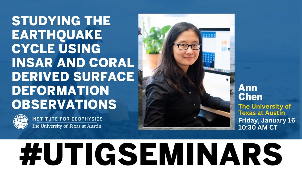
Spring 2026 UTIG Seminar Series: Ann Chen
Keywords
Summary
150 words
Critical Evaluation
Value of the Information & Strength of the Argument
The presentation provides valuable insights into the earthquake cycle in a remote subduction zone, combining spaceborne InSAR with coral geodesy. The argumentation is solid, based on detailed data analysis and cross-validation of independent datasets. The speaker explains the methodology clearly, including the new stacking technique to mitigate atmospheric noise. The results are significant, revealing large coseismic and postseismic deformation patterns. The argument is well-supported by the data, and the speaker acknowledges limitations, such as the challenges of InSAR in vegetated areas.
Scientific Rigor, Source Quality, Title Accuracy
The scientific rigor is high, with a clear methodology and use of established techniques. The speaker references her own research and collaborations, and the work is funded by NASA. The title accurately reflects the content. The presentation is based on original research, and the speaker provides sufficient detail for a scientific audience. The sources cited are primarily the speaker’s own work and the data from missions like ALOS and Sentinel-1.
166 words
Title / Content Match
The title accurately reflects the seminar content, focusing on earthquake cycle studies using InSAR and coral data.
Quality & Reliability
8/10
Presentation by an expert in satellite geodesy, based on peer-reviewed research, with detailed methodology and data analysis. Limitations and challenges are acknowledged.
Key Moments
Markers derived by PSI from the transcript: the creator did not define chapters.
- Introduction and background on satellite geodesy
- Explanation of InSAR principles and phase information
- Discussion of InSAR missions and data availability
- Challenges in InSAR: atmospheric noise and decorrelation
- Study area: Solomon Islands and its tectonic setting
- InSAR results for the 2007 earthquake and postseismic deformation
- Coral data and comparison with InSAR
Cited Sources
- NASA ESI program — Funding for the research
- ALOS mission — L-band SAR data used in the study
- Sentinel-1 mission — C-band SAR data used for comparison
Concurring Sources
- ALOS mission — L-band SAR data used in the study
- Sentinel-1 mission — C-band SAR data used for comparison
Contribution & Novelties
The research provides new surface deformation observations in a remote subduction zone, combining InSAR and coral data to reconstruct the earthquake cycle. The new InSAR stacking method improves signal extraction from noisy data. The study fills a knowledge gap in the Solomon Islands, which is a highly active but under-surveyed region.
Pour aller plus loin :
- InSAR — Overview of InSAR technique.
- Subduction zone — Tectonic context.
- Coral geochronology — Use of corals for dating and deformation studies.
78 words
Radar Profile
The radar profile shows balanced scores across all dimensions, indicating a well-rounded presentation with strong technical depth and reliability. The high scores in quantity and quality of information reflect the detailed data and methodology presented.
💬 No comments were provided for analysis.