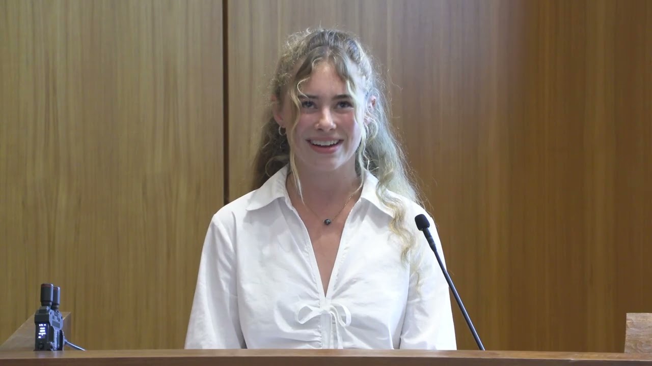
Naomi Howard - Spatial Coastal Monitoring: Oceanside, CA - MAS CSP 2026 Symposium
Keywords
Summary
155 words
Critical Evaluation
Value of the Information & Strength of the Argument
The presentation offers valuable insights into a practical, low-cost method for coastal monitoring, addressing a real need for frequent, site-specific data. The argumentation is solid, supported by preliminary data and comparisons with established technologies. The speaker acknowledges limitations and the need for further validation, which enhances credibility. The value lies in the potential for democratizing coastal monitoring and informing adaptation decisions.
Scientific Rigor, Source Quality, Title Accuracy
The scientific rigor is adequate for a capstone project, with clear methodology and data collection. Sources cited include the IUCN definition of nature-based solutions, Senate Bill 272, and references to similar projects in Santa Monica and Cardiff. The title accurately reflects the content. The presentation includes a Q&A session, but no comments were provided for analysis.
132 words
Title / Content Match
The title accurately reflects the content, focusing on spatial coastal monitoring in Oceanside, CA.
Quality & Reliability
7/10
The presentation is based on original fieldwork and data collection, with clear methodology and preliminary results. However, the sample size is limited and the technology validation is still in early stages, with acknowledged alignment issues.
Key Moments
Markers derived by PSI from the transcript: the creator did not define chapters.
- Introduction and agenda
- Significance of coastal dunes as nature-based solutions
- Oceanside beach loss and dune restoration project
- Gaps in current monitoring practices
- Introduction of iPhone and ViDoc technology
- Methodology: ground control points, RTK, and Pix4D
- Comparison with established survey methods
- Preliminary findings from weekly observations
- Future implications and conclusion
Cited Sources
- IUCN Nature-based Solutions — Definition of nature-based solutions
- Senate Bill 272 — California legislation requiring sea level rise adaptation plans
- Save Oceanside Sand — Non-profit providing beach profile data
Concurring Sources
- Scripps Institution of Oceanography — Affiliated institution, likely supports the research
Contribution & Novelties
The presentation introduces a novel, low-cost methodology for coastal dune monitoring using consumer-grade technology, making it accessible to non-specialists. This could significantly enhance data collection frequency and spatial coverage, filling gaps left by expensive and infrequent surveys. The approach also promotes citizen science and community engagement.
Pour aller plus loin :
- Structure-from-Motion photogrammetry — Relevant to the 3D modeling technique used.
- Real-time kinematic positioning — Explains the RTK technology used.
- Coastal dune restoration — Provides background on the ecological practice.
80 words
Radar Profile
The radar profile shows balanced scores across information quantity, quality, technical level, and reliability, with slightly higher scores in information quality and reliability, indicating a well-structured and credible presentation.