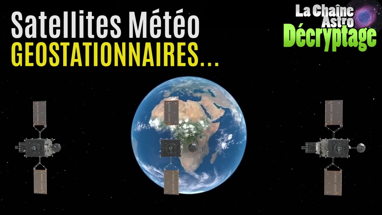
Observons la Terre! (Les satellites géostationnaires)
Keywords
Summary
162 words
Critical Evaluation
Value of the Information & Strength of the Argument
The video provides valuable, actionable information for amateur astronomers interested in observing geostationary satellites. The host explains the technical aspects clearly, such as the orbital mechanics and the scanning sensor design, making complex concepts accessible. He supports his explanations with practical demonstrations and personal experiences, such as using Python scripts to download satellite images. The argumentation is coherent and well-structured, moving from basic concepts to practical applications. However, the video lacks a critical analysis of the limitations or potential errors in the data, and some claims are not rigorously sourced.
99 words
Title / Content Match
The title accurately reflects the content, which focuses on observing Earth via geostationary satellites, including how to photograph them and access their imagery.
Quality & Reliability
8/10
The video is a practical tutorial by an experienced amateur astronomer, explaining the principles and techniques for observing and photographing geostationary weather satellites. It provides accurate technical details about satellite orbits, sensors, and data access, supported by official resources. The content is well-structured and reliable for its intended purpose, though it lacks formal citations and peer-reviewed references.
Key Moments
Markers derived by PSI from the transcript: the creator did not define chapters.
- Introduction and overview of geostationary weather satellites.
- Explanation of the geostationary orbit and why satellites are at 36,000 km.
- Description of the three main satellites: Meteosat-9, FY-4B, and Himawari-8.
- How to photograph geostationary satellites with a camera and wide-angle lens.
- Explanation of the scanning mechanism and multi-wavelength imaging.
- How to access satellite imagery from various online portals.
- Creating timelapses and observing cloud movements and eclipses.
- Conclusion and encouragement to appreciate Earth's beauty.
Cited Sources
- FY-4B satellite data portal — Official Chinese meteorological satellite data portal for FY-4B.
- Himawari-8 real-time imagery — Japanese meteorological satellite imagery viewer.
- CIRA SLIDER for Meteosat-9 — Interactive viewer for Meteosat-9 imagery.
- JMA Himawari-8/9 AHI specifications — Technical specifications of the AHI sensor on Himawari-8/9.
Concurring Sources
- Geostationary orbit — Confirms the orbital altitude and period described in the video.
- Himawari 8 — Provides details on the satellite's imaging capabilities and scanning mechanism.
External References
Contribution & Novelties
The video offers a unique perspective for amateur astronomers by showing how to observe and photograph geostationary satellites, a topic not commonly covered. It provides practical guidance on accessing and utilizing satellite imagery, which is often overlooked. The host’s personal scripts and methods add a novel, hands-on approach.
Pour aller plus loin :
- Geostationary orbit — Fundamental concept explained in the video.
- Weather satellite — Overview of meteorological satellites and their uses.
- Himawari 8 — Specific satellite discussed, with details on its capabilities.
- Meteosat — European geostationary weather satellite series.
- Fengyun — Chinese weather satellite program, including FY-4 series.
99 words
Radar Profile
The radar profile shows high scores in information quantity and quality, with a moderate technical level and high reliability. This indicates a well-balanced video that is informative and trustworthy, suitable for both beginners and intermediate enthusiasts.