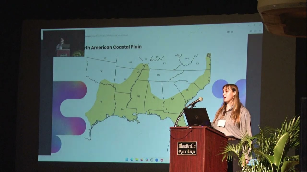
ARI 2025 WATER-WIND-FIRE Conference Jennifer Rogers
Keywords
Summary
123 words
Critical Evaluation
Value of the Information & Strength of the Argument
The talk provides valuable insights into the application of hyperspectral remote sensing for ecological mapping. The speaker clearly explains the methodology, including the mixture residual transformation, and presents quantitative results showing improved accuracy. The argumentation is solid, supported by data and visual examples. The speaker acknowledges limitations, such as difficulty in distinguishing old-field from upland pine savannas, which adds credibility. The potential for conservation applications is well-argued, emphasizing the ability to estimate conservation value remotely.
Scientific Rigor, Source Quality, Title Accuracy
The presentation demonstrates scientific rigor with a clear methodology and transparent reporting of accuracy metrics. The speaker cites specific data sources, including PRISMA satellite and NEON sites, and mentions collaborations with USGS and FNAI. The title is somewhat generic, but the content matches the description. The talk is based on a published paper, indicating peer review. The speaker also mentions funding from NASA and NRCS, adding credibility. Overall, the sources are appropriate and the title-content alignment is acceptable.
168 words
Title / Content Match
The title is generic, but the description and content align well, focusing on remote sensing for conservation.
Quality & Reliability
8/10
The talk presents original research published in a peer-reviewed context, with clear methodology and data. The speaker is affiliated with Tall Timbers Research, a reputable institution. The presentation is well-structured and transparent about limitations.
Key Moments
Markers derived by PSI from the transcript: the creator did not define chapters.
- Introduction to satellite technology and GRACE mission
- Basics of multispectral vs hyperspectral imaging
- Explanation of near-infrared and plant health detection
- Introduction to land cover mapping and existing databases
- Description of study area and plant communities
- Details on PRISMA satellite and data collection
- Explanation of mixture residual transformation
- Accuracy assessment and results comparison
- Example maps and practical applications
- Future directions and conclusion
Cited Sources
- PRISMA satellite mission — Mentioned as the hyperspectral satellite used in the study.
- National Ecological Observatory Network (NEON) — Mentioned as a source of well-documented plant community data.
- Florida Natural Areas Inventory (FNAI) — Mentioned as a source for plant community classification and internal database.
- Landfire — Mentioned as an existing land cover map with limitations.
- National Land Cover Database (NLCD) — Mentioned as an existing land cover map with limited classes.
Concurring Sources
- PRISMA mission — The satellite used in the study, providing hyperspectral data.
- NEON — Provided well-documented plant community data for training.
Contribution & Novelties
The talk presents a novel application of hyperspectral imagery and a mixture residual transformation to improve mapping of closely related plant communities. This approach enhances the ability to distinguish subtle ecological differences, which is crucial for conservation planning. The study demonstrates a significant improvement in accuracy for several pine savanna types, offering a cost-effective method for large-scale biodiversity assessment.
Pour aller plus loin :
- Hyperspectral imaging — Provides background on the technology.
- Random forest — Explains the machine learning algorithm used.
- Longleaf pine ecosystem — Context on the ecosystem of interest.
- PRISMA (satellite) — Details on the satellite mission.
- Remote sensing for conservation — General relevance to conservation efforts.
109 words
Radar Profile
The radar profile shows high scores in information quantity, quality, and reliability, with a slightly lower technical level, indicating a well-balanced presentation that is accessible yet scientifically sound.